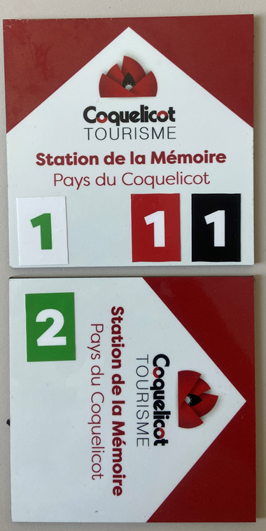
The top marker indicates to keep going straight ahead for :
- the green route n°1
- the red route n°1
- the black route n°1
The bottom marker indicates to turn right for :
- the green route n°2
A colored number on a white background indicates that the route is intended for walkers and trail runners.
The green route n°1 is only for walkers or trailers.
A white number on a colored background indicate that the route is multi-activity : hiking, trail, mountain biking, gravel and horse riding.
The green route n°2, the red route n°1 and the black route n°1 are multi-activity.
The color of the route indicates its difficulty :
You must respect the traffic regulations on all the routes.
Green loop n°1 - Notre Dame de Brebières - 8.10km / 55m D+ (pdf / gpx)
Green loop n°2 - Thiepval verte - 8.90km / 105m D+ (pdf / gpx)
Blue loop n°1 - Albert Thiepval - 16.65km / 160m D+ (pdf / gpx)
Red loop n°1- Thiepval Beaumont Hamel - 20.00km / 275m D+ (pdf / gpx)
Red loop n°2 - Thiepval La Boiselle - 20.80km / 210m D+ (pdf / gpx)
Black loop n°1 - Circuit Mémoire du Pays du Coquelicot - 38.00km / 480m D+ (pdf / gpx)
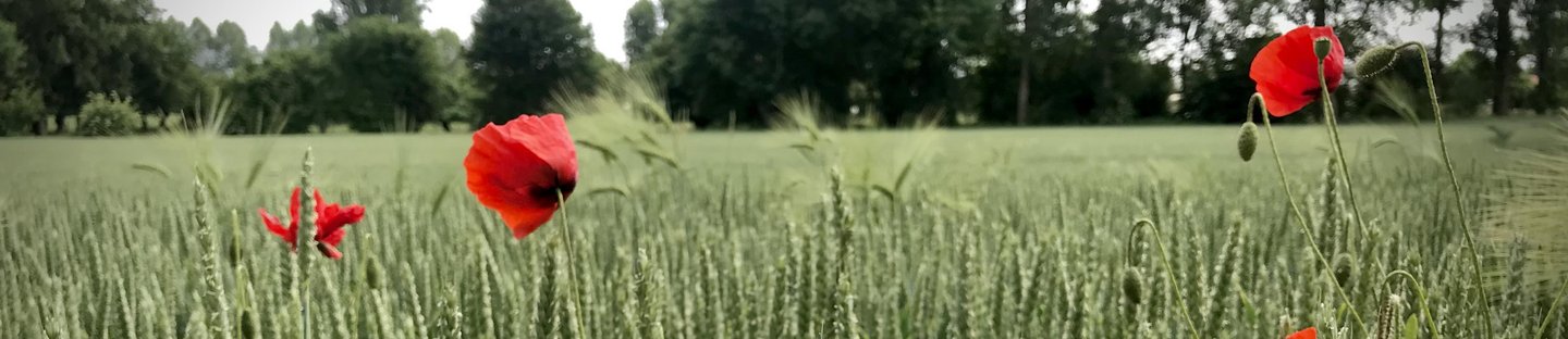
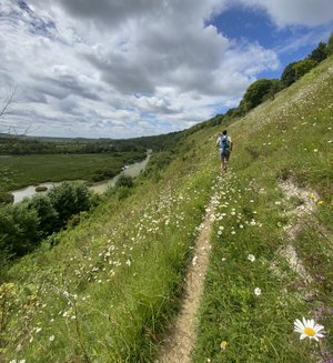
The ideal place to start trail running is definately in the Poppy Country with its moderate gradient, single tracks, dirt or grass roads, forests and mud, the playground is ideal.
A lot of hiking tracks are already signposted throughout the Poppy Country to help you to prepare your itinerary.
Apps allow you to compare your performance with local trail runners...And we suggest you to start one of our sporting events to meet them and discover the area as you are running.
![]() Contributing to the development of our outdoor activities by integrating your outings on Outdoorvision.
Contributing to the development of our outdoor activities by integrating your outings on Outdoorvision.